The Run Down
by Mary Ashton Mills / Header Image by Matt Van Swol
Study a map and you'll find that Augusta's River Region lies on a fall line, which is a simple term used to describe the narrow area between the Piedmont and the Coastal Plain regions. But what the map might not tell you is that this gently sloping area has a topography that provides outdoor enthusiasts a multitude of unique walking and running trails. These trails offer unsurpassed vistas, glimpses of endangered wildlife, and a wide variety of terrain to explore. Why not lace up those shoes, get your heart rate pumping and see what it is about these trails that brings our community together?
Trail Name: Augusta Riverwalk
Endurance Level: Easy, child friendly. For an easy way to amp up your workout, hit the stairs at the Jessye Norman Amphitheater.
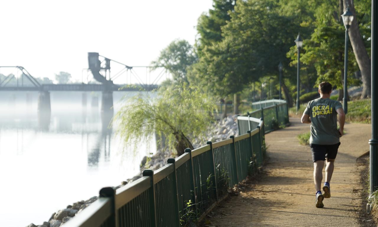
The Skinny: The Riverwalk, located along the banks of the Savannah River between 6th and 10th Streets, has multiple access points along the way. It is smack dab in the middle of downtown Augusta with a wide brick walkway on two levels, capturing views of the Augusta skyline and expansive vistas of the river. The upper path runs along the levee and a lower, tree-lined path takes runners along the shore of the Savannah River, offering some shade. The entire Riverwalk can be conquered on a short lunch break as it is only one mile.


Trail Name: North Augusta Greeneway
Endurance Level: Easy, child friendly
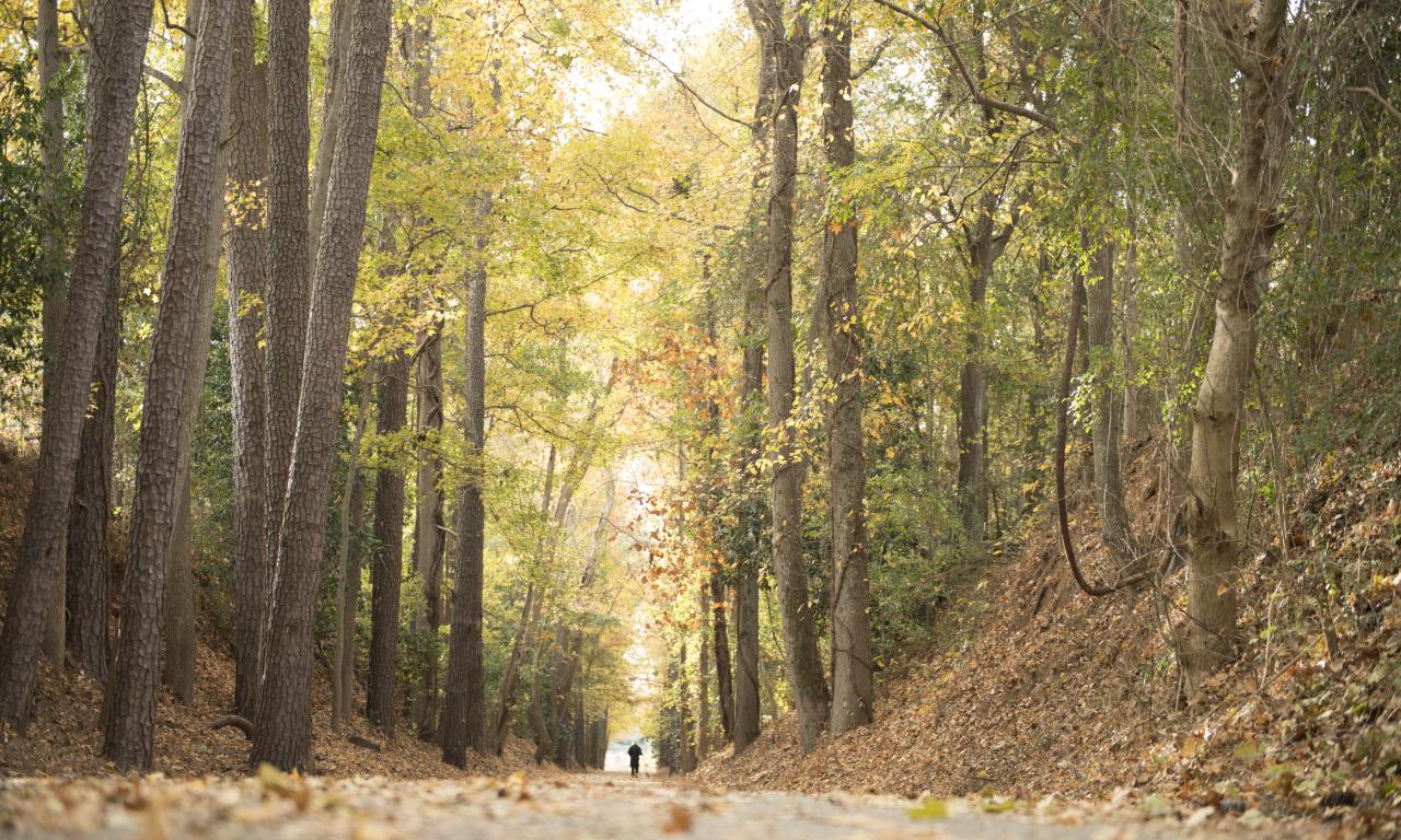
The Skinny: North Augusta's Greeneway is a community-oriented, paved trail covering over 7 miles through neighborhood parks, soccer fields, riverfront and wooded acreage. Following an abandoned railroad right of way, the paved Greeneway offers runners and walkers an opportunity to build speed and work on distance running. There is an additional 1.6 mile trail called the Riverfront Loop that takes outdoor enthusiasts along the river. Don't miss the gorgeous, newly installed butterfly garden on the Greeneway. Detour: Joggers will delight in a pit stop off the Riverfront Loop offering plenty of places to whet their whistle in the Hammond's Ferry neighborhood.
Trail Name: Brick Pond Park
Endurance Level: Easy, child friendly
The Skinny: The Brick Pond Park is a 40-acre park near the banks of the Savannah River in North Augusta. Trails and boardwalks wind through wetlands, ponds and around waterfalls providing beautiful scenery. The area was restored and designated a park in 2006 to help with storm water treatment. The basic loop is 1.2 miles but can be added to the Riverfront Loop or the entire Greeneway. Enter the park from the North Augusta Municipal Center or from the North Augusta Greeneway entrance on Riverside Boulevard.

Trail Name: Augusta Canal National Heritage Area
Endurance: Easy
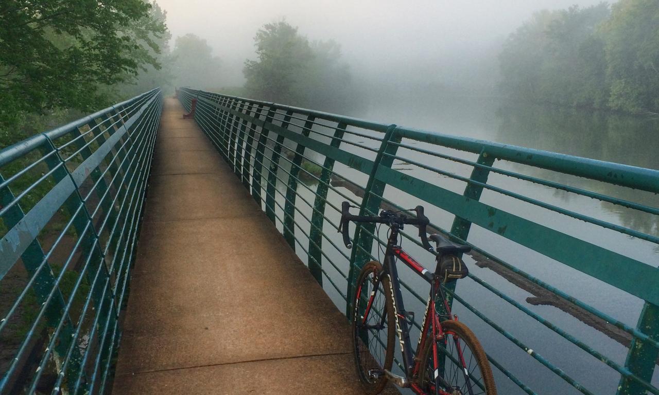
The Skinny: The Augusta Canal towpath can be accessed from multiple points spanning from downtown to Columbia County. For a scenic and flat route, begin at the Savannah Rapids Headgates and run alongside the river and canal with views of the rapids. Here the trail is infused with a youthful outdoor enthusiast vibe, thanks to Savannah Rapids Outfitters and Bicycle Peddler who rent bikes, stand-up paddleboards and kayaks on-site. The run along the canal towpath ranges in distance. Out and back, runners could easily enjoy a long-distance run along the river. Distances: Headgates to I-20 overpass - 2 miles, headgates to pumping station - 3.5 miles, headgates to Sibley Mill - 5 miles.
Trail Name: Bartram Trail
Endurance: Easy to more difficult
The Skinny: Bartram Trail covers more than 27 miles around J. Strom Thurmond Lake and is accessible at multiple points. Much of the trail is considered a single-track mountain bike trail, however hikers have been known to train for extreme hikes here. It is well marked with yellow blazes and signs marking mileage points. Heavily wooded with sections that are mostly flat, it brushes the shores of the lake and presents some hilly terrain, offering something for everyone. Beware, it can be unpopulated at times but gives that "off-the-grid" sensation. West Dam to Lake Springs: For a nice run close to the lake, start at West Dam and run to Lake Springs (2.6 miles one way). Here, you can add in the Lake Springs Loop (additional 1.8 miles) which is a paved loop with a tower offering awesome views of the lake. Parking is free at West Dam and at the south part of the Lake Springs Loop. If you access the trail inside the north part of Lake Springs by the fishing pier and day recreation area, a $5 per day usage fee applies. Wildwood Park: The Wildwood Park trailhead offers a nice run with a variety of terrains. This section is 2.4 miles throughout Wildwood Park where fisherman, horseback riders, and cross country runners enjoy the trail. WARNING: Wear orange during hunting season as these trails are in close proximity to hunting land.

Trail Name: Phinizy Swamp Nature Park
Endurance: Easy to moderate and offers a variety of terrain including boardwalks, dirt paths, gravel and an occasional stump.
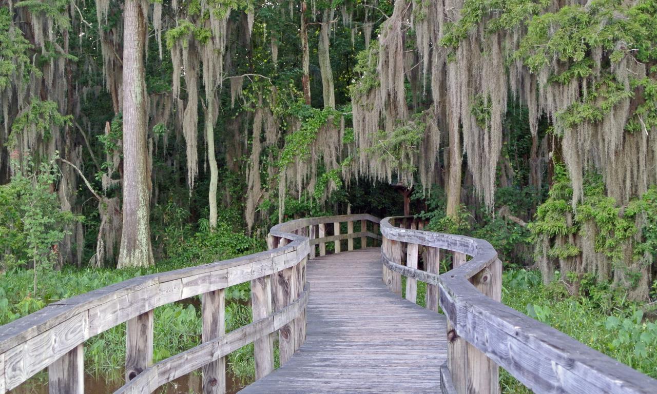
The Skinny: Phinizy Swamp Nature Park, located in South Augusta near Bush Field Airport, is one of those destinations that may seem a little off the beaten path, but is closer than many may think. From the parking lot, visitors can access multiple trails. Start by looking for the silos at the back of the field by the parking lot. Begin with the Beaver Dam Trail (.5 mile) as you wind your way past the Mayor's Fishin' Hole and across the Bridge Through the Woods, which will connect you to the Blue trail (.5 mile). Take the Blue Trail to the Equalization Pond, across the 3 Tan Bridge and back toward Windshear Tower where the Osprey nest sits. Finally take the path toward the rain garden and Visitor Center which will link back to the parking lot via Cattail Boardwalk. Be vigilant about your surroundings, some paths are not well marked. Choose this destination for leisure walks and enjoy the abundant nature trails with views of birds, ponds, creeks, wetlands, loblolly pines and cypress trees draped with Spanish moss. The man-made wetlands are not the only beautiful, but serve as a tertiary step in treating Augusta's water supply.
Trail Name: Augusta University History Walk
Endurance: Easy
The Skinny: Paying homage to the college and the history of Augusta is Augusta University's History Walk on the corner of Walton Way and Catherine Street. Here you can view the restored arsenal guardhouse, circa 1866, before beginning the 1.1-mile loop throughout the college. A wide brick walkway with historical markers placed throughout serves as a favorite path for Augusta University Students and Summerville neighbors. Running parallel to Walton Way and throughout the college, the trail is beautifully landscaped, well marked, and maintains a strong community feel.


